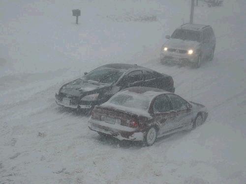
A weather system will move into northwest Oklahoma and southwest Kansas overnight Monday into Tuesday. Snow will be possible before daybreak along a Ulysses to Coldwater line. Through the day, the system will move to the east possibly spreading accumulating snowfall into south central Kansas. The forecast models have begun to push the system slightly further north resulting in the possibility of light snow for Wichita by Tuesday afternoon.
Snow accumulations will vary largely based on location. Southwest of a Ulysses to Coldwater line could see up to 2.5” of snow by Tuesday afternoon. The remainder of southwest Kansas could see less accumulation. Areas along and south of the US 54 corridor will have the best chance of seeing accumulating snow for south central Kansas. Highest accumulations are expected along the KS/OK border where 2” of snow is possible. For Wichita and surrounding areas, 0-1/2” of snow is possible. Surface and ground temperatures will limit accumulation.

